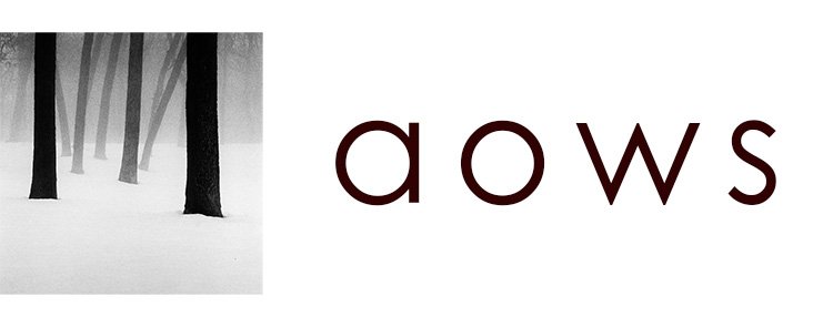
I love fog. Fog is very important for my photography, as it creates the atmosphere and the mystery I look for with my images.
As you can imagine, being able to predict (or at least have some degree of confidence) where and when fog happens can make a big difference. That’s why I always keep an eye on some key numbers that are a good indicator of possible mist.
I use an app called Clear Outside. It’s not a good one, it’s old and hasn’t been updated in years, but I love how simple it is. I can see everything I need in one quick glimpse, with no distractions.
What I look for is:
- Wind: as little wind as possible, ideally no wind at all.
- Rain can create its own fog, but most of the time it will leave you with images that look like they were taken on a cloudy day. Only that you got wet to make them.
- Humidity: has it rained lately? is the ground wet? are there lakes nearby? Here where I live, fog won’t happen if humidity is below 90%.
- Temperature: a cold night followed by a warm day can fill the air with all that humidity present on the ground.
- Dew point: the closer to the actual temperature, the better. It is when these two values are the same that fog appears to be the thicker, at least in my experience.
- Topology: valleys are more prone to fog, as they “trap” that humidity.
This is not an exact science, quite the opposite: predicting fog is really hard. But with the right numbers, and some knowledge about the location, you can have a rough idea of what to expect. And maybe have your camera bag ready to go, just in case.
